Quantifying Soil Phosphorus Concentrations and Stream Loads in Forested Watersheds of Vermont: Implications for Water Quality Protection

The recent release of the revised total maximum daily load (TMDL) allocations for Vermont segments of Lake Champlain will require reductions in phosphorus loadings across all contributing sectors. This includes reductions in phosphorus loads from forest lands. Because forest lands receive little to no additions of phosphorus fertilizers, the major form of phosphorus export to streams is sediment bound, usually associated with roads and stream crossings.
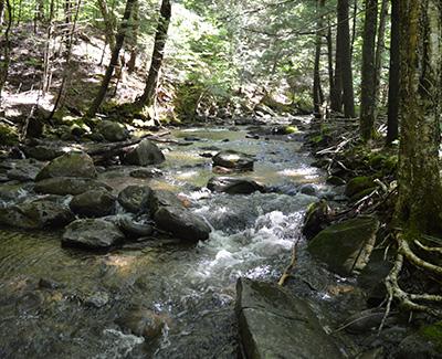
NSRC researchers sampled forest and streambank soils on ten forested sites in Vermont’s Missisquoi watershed. These, combined with data from eight other sites, provide the range of soil phosphorus found under forested land use in this watershed. Researchers found no differences between forest soils and streambank soils in any phosphorus measurements. Phosphorus levels measured were relatively low. To quantify variability in loads from forested watersheds under different intensities of forest management, researchers monitored spring and summer storm events at three small forested watersheds in the Missisquoi basin. These watersheds span a gradient of human activity, from the relatively pristine Wade Brook, to Ross Brook, which is managed for maple sugar production, to Kings Hill Brook, which includes industrially managed land. Instrumentation at each site measured stream depth and turbidity and collected water samples to be analyzed for phosphorus.
Output from this project will be available to Vermont’s Department of Forests, Parks and Recreation and Department of Environmental Conservation to aid in formulation and adoption of better management practices that will lead to a reduction in phosphorus load from forested land.
