Potential Impacts of Alternative Future Land Uses on Forest Management and Wood Supply across Maine

Maine is the most heavily forested state in the U.S., and loss of forests is a key concern for industry leaders and policy makers in the state. Despite the impact of the recent economic downturn on development pressure, long-term projections indicate future loss of forests is likely. According to a 2009 report, a large portion of watersheds found in southern Maine rank in the 90th percentile nationwide in terms of changes in timber supply resulting from future increases in housing density. Despite a below average increase in population, Maine has a disproportionately high rate of increase in housing, much of it attributed to second home development throughout areas where forest management is most likely to occur.
To examine the impacts of development on Maine forests, NSRC researchers convened two stakeholder groups, one each for forestry and development, to co-develop a model of land use suitability at the state scale. Researchers used geographic information systems and socio-economic and biophysical data to create statewide suitability maps to identify areas of conflict. They quantified the number, productive quality, and spatial pattern of forested acres currently impacted through various development scenarios. They estimated merchantable and total timber volume for each pixel using the national tree list layer. The intersection between likely future development and productive forestland helps to estimate future timber supply impacts.
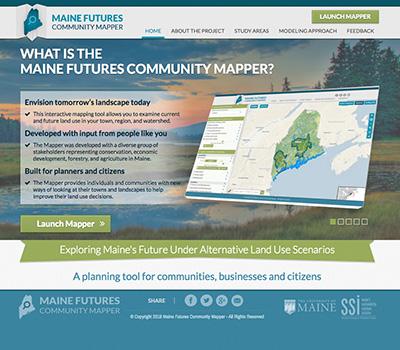
The modeling and stakeholder engagement work in this project led to development of the award-winning Maine Futures Community Mapper (http://www.mainelandusefutures.org/), a web-based spatial planning and scenario analysis tool geared for land use planners, communities, conservationists, and natural resource managers.
