Testing the Value of High Resolution LiDAR Data for Assessing the Structure and Integrity of Forest Canopies that Influence Tree Health, Insect Populations, and Bird Habitats

As human-caused disturbances to our ecosystems increase, forest managers and biologists must develop cost-effective techniques to evaluate habitat features that shape forest health and biodiversity. Recent advances in remotely sensed Light Detection and Ranging (LiDAR) provide a new source of geospatial information of the 3-D structure of forest canopies. Scientists have used LiDAR data to estimate the vertical distribution and complexity of tree canopies in hardwood forests and related these data to bird species richness, an indicator of biodiversity. NSRC researchers used LiDAR data to characterize vegetation structure in northern hardwood forests and related the data to forest health.
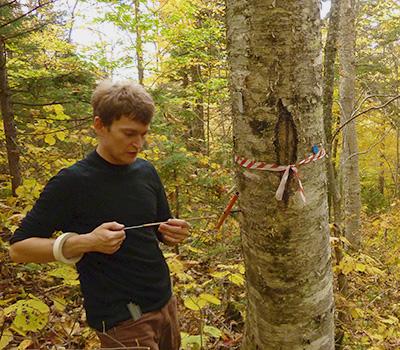
At Hubbard Brook Experimental Forest in New Hampshire, researchers assessed sugar maple and yellow birch health and productivity on 36 plots, with nine plots in each of four LiDAR structural categories: high overstory and high understory closure, high overstory and low understory closure, low overstory and high understory closure, and low overstory and low understory closure. They collected on-the-ground measures of canopy structure, site, stand, and individual trees during summer 2012.
They found significant differences among the four LiDAR categories. Reductions in diameter growth for sugar maple, decreases in foliar nutrition for yellow birch, and reductions in overall crown health were associated with high overstory and high understory closure. Competition for nutrients between overstory and understory plants may be responsible for these differences in health and productivity among the LiDAR categories. Findings suggest that LiDAR measures can detect competitive interactions between overstory trees and understory vegetation and show promise for identifying stands in poor health due to overstocking and competition.
