Using Remote Sensing to Quantify and Understand Trends in Northeastern Forest Health over the Past 25 Years

Forest health in the northeastern U.S. is of increasing concern due to climate change and human-caused pressures. One way to assess forest health is to monitor changes of tree crowns or the forest canopy. To monitor forest canopy condition across the region, NSRC researchers used remote sensing images, which can be used to evaluate the crown condition of forests over long time periods and large areas. A forest health rating based on canopy "greenness," photosynthetic capacity, canopy density, and water content was applied to Landsat TM5 satellite imagery to quantify yearly forest health from 1984 to 2009.
Initial results indicate that forest condition varies from year to year, primarily due to drought and insect outbreaks, but the condition of forested ecosystems across the region as a whole has remained relatively stable over the past 25 years. This is likely due to the natural resilience of northeastern forests and their rapid recovery, regrowth, and ingrowth following small scale disturbances.
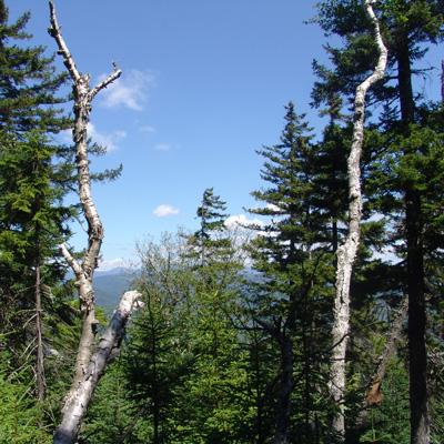
Declining trends over the 25 year study were only significant in high-elevation spruce-fir-paper birch forests. A field investigation of declining, stable, and improving sites indicated that stands with lower species diversity and structural complexity, as well as lower nutrient and water availability were associated with more severe decline. Possible causes of long-term decline at these locations include the interacting effects of acid deposition, injury from extreme climate events (winter injury, late frost, ice storms), and a lack of secondary tree species to rapidly fill gaps created by mortality and decline.
