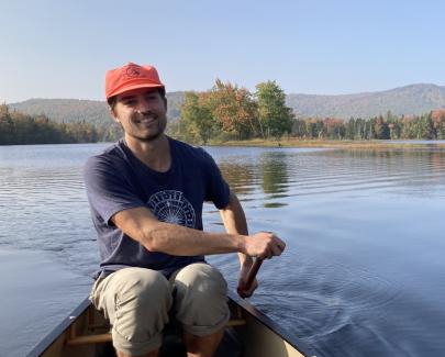
Peter Howe is a Masters student working with Professor Daniel Hayes in the Wheatland Geospatial Lab at the University of Maine School of Forest Resources. Peter’s work centers around the histories and shifting landscapes of the Northern Forest region, using archival records and modern mapping technologies to offer new perspectives on the past, present and future forest. Working with collections of aerial survey photographs dating back to the 1930's, Peter is adapting modern photogrammetry and remote sensing techniques to construct landscape-scale mosaic images that offer a vast record of the historical forest across time. Prior to UMaine, Peter worked in and around the woods as a cartographer, conservation lands steward, forestry technician, arborist, sugarmaker, and orchardist. Peter graduated from Middlebury College in 2018 with a BA in Geography.
